 Italian
 English
 French
Trekking


Some examples of trekking routes
• Tour of Gran Paradiso:
It is one of the most renowned treks in the area, encompassing the entire Gran Paradiso massif. It's a multi-day hiking trail, suitable for experienced hikers, offering breathtaking views of glaciers and wildlife, including ibex and chamois.
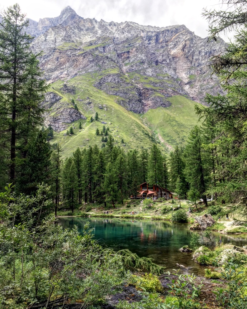
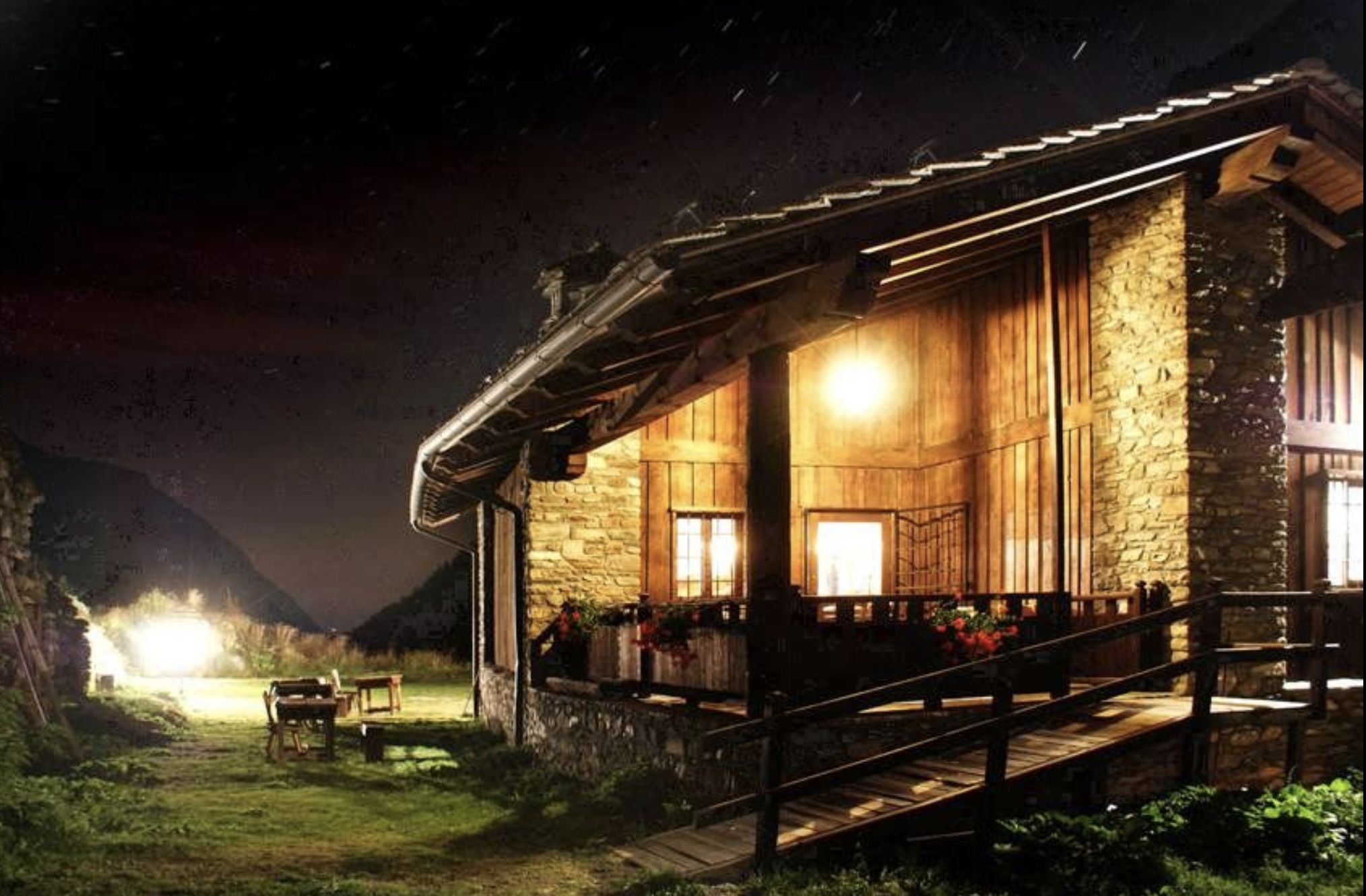
• Trail to Le Refuge de Fond 2324:
This is a more accessible route, suitable for families and hikers of all levels. The refuge provides an ideal stopping point to admire the beauty of the valley, with views of glaciers and the surrounding mountains.
• Hike to Lake Tsanteleina and Lake Goletta:
Other treks worth considering are those leading to the Tsanteleina and Goletta Lakes, enchanting spots known for their crystal-clear waters and the surrounding alpine landscape.
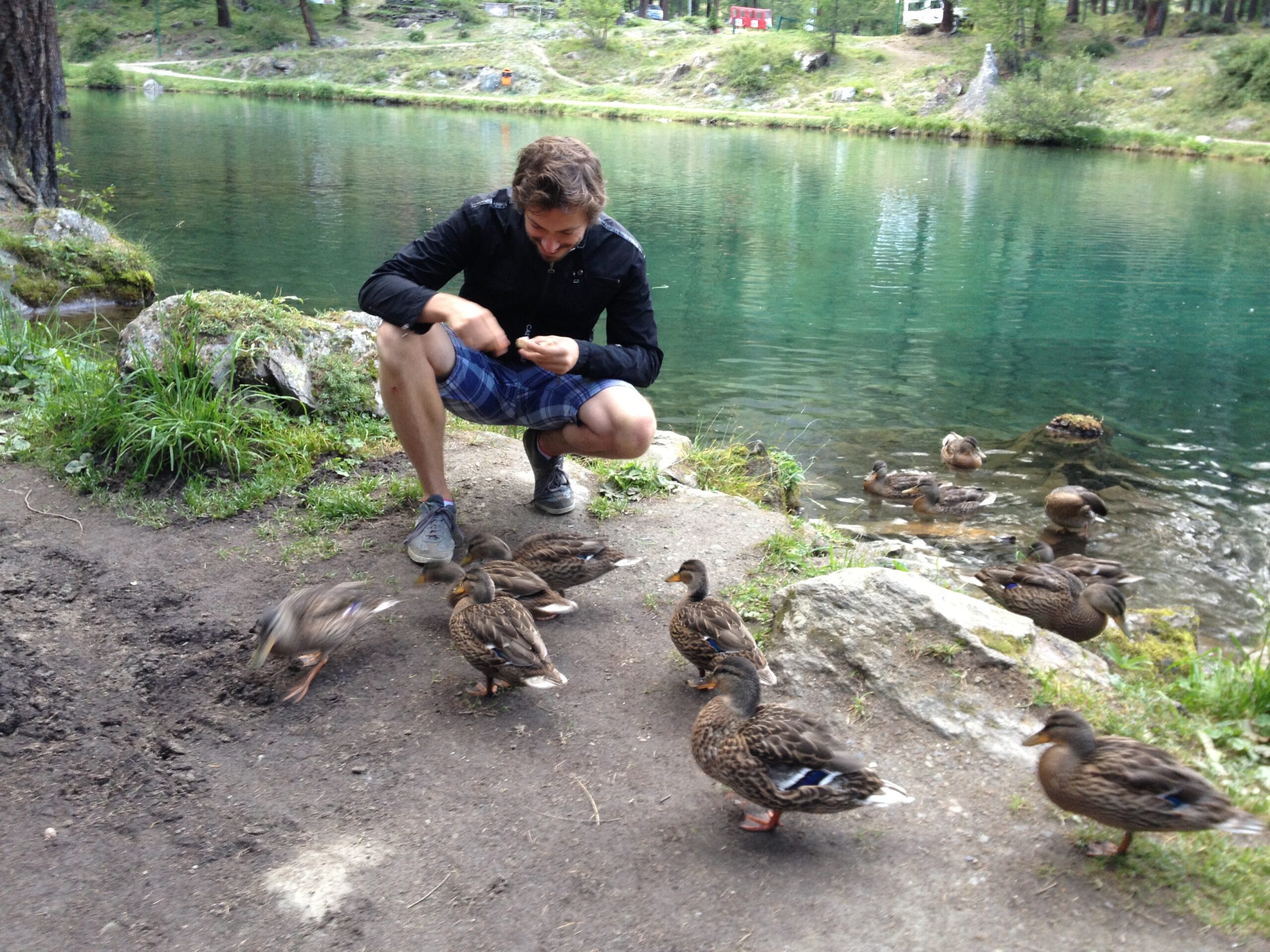
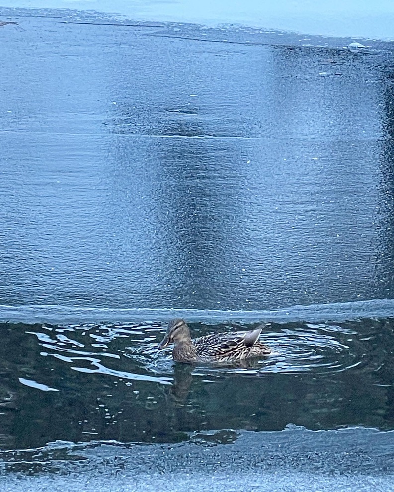
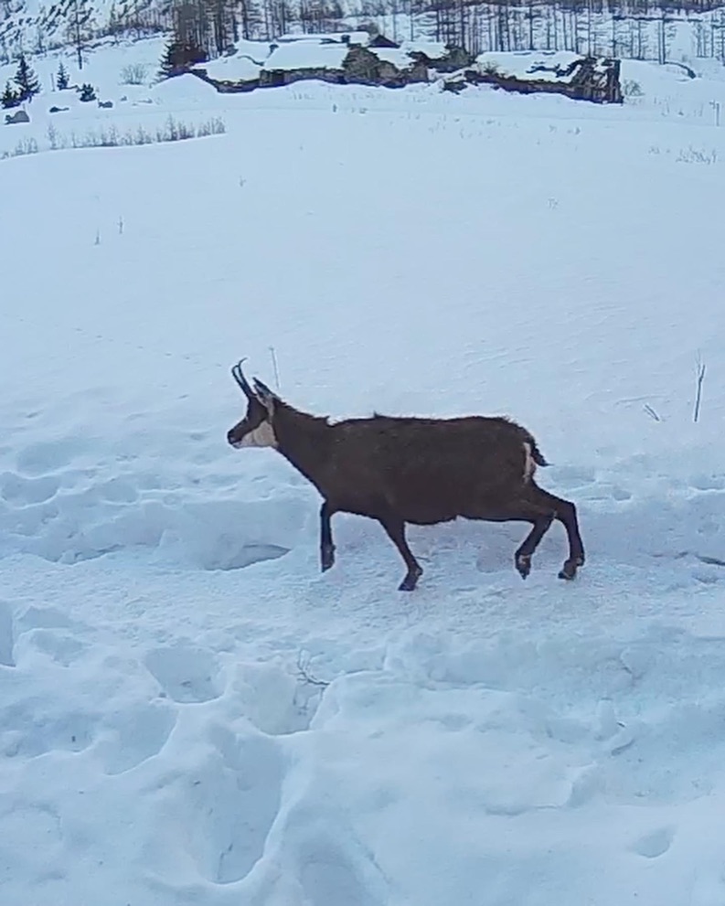
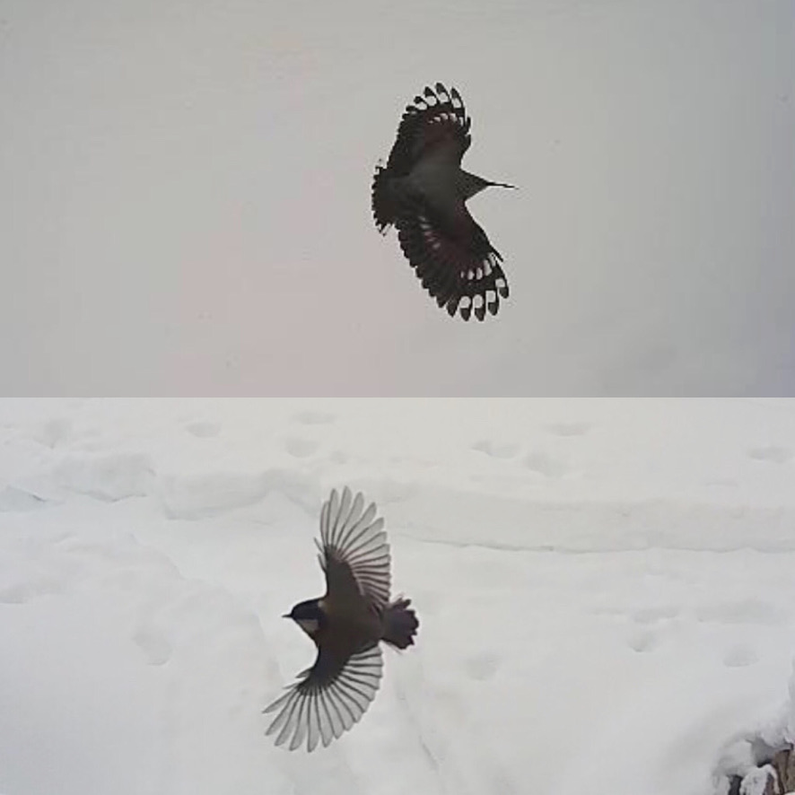
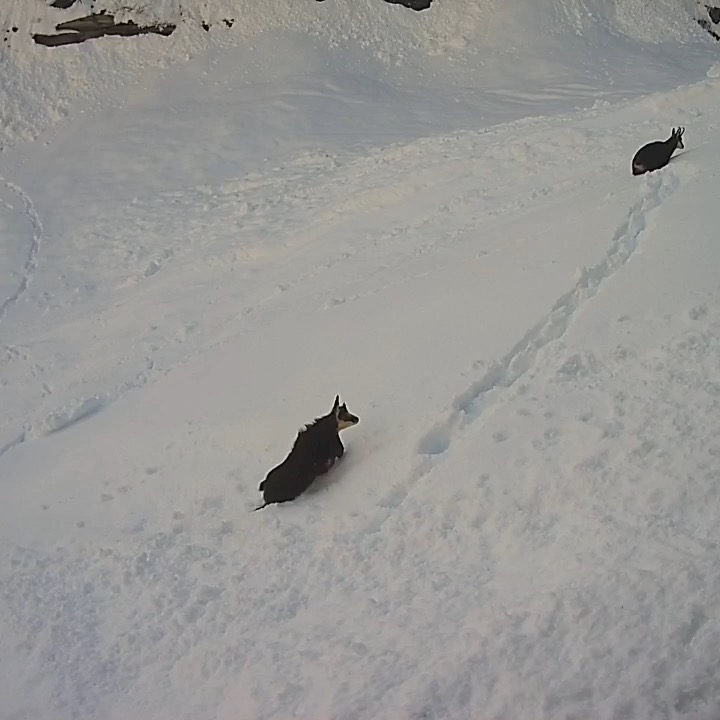
Flora and Fauna
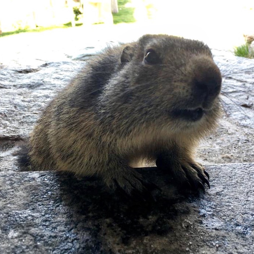
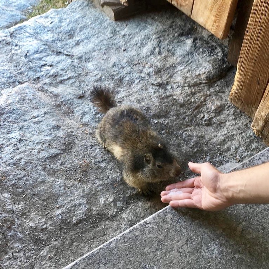
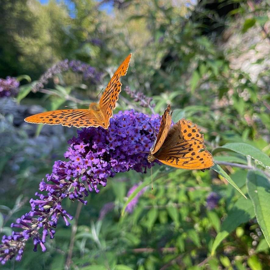
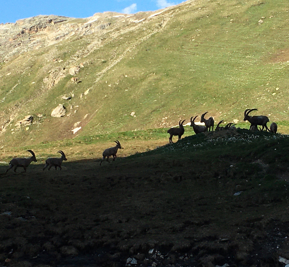
The valley is known for its rich flora and fauna. During hikes, it's possible to spot various species of wildlife such as ibex, chamois, marmots, and, if you're lucky, even the golden eagle and bearded vulture. The flora is equally rich, with a variety of alpine flowers that color the landscape during the summer months.
Practical Tips
• The best time for trekking in the Rhêmes Valley is from June to September, when most of the trails are free of snow and the temperatures are milder.
• Equipment:
- Sturdy hiking boots:
A good pair of boots is essential to keep your feet comfortable and protected on rugged terrain.
- Trekking poles:
They help distribute weight, improve balance on steep trails, and reduce fatigue.
- Microspikes:
If you plan to traverse areas with icy or very slippery terrain, microspikes can provide extra traction and safety.
- Layered clothing:
Layered clothing allows you to easily adapt to changes in temperature and weather conditions. Always include a waterproof and breathable layer.
- Water and food:
Always carry enough water and energy-rich snacks or meals, especially if you're planning a long or challenging hike.
- Camera and binoculars:
Don’t miss the chance to capture the breathtaking landscape and observe wildlife up close.
• Safety: It's always important to check the weather conditions and trail information before setting out, and consider joining a guided hike if you're not experienced with mountain terrain.
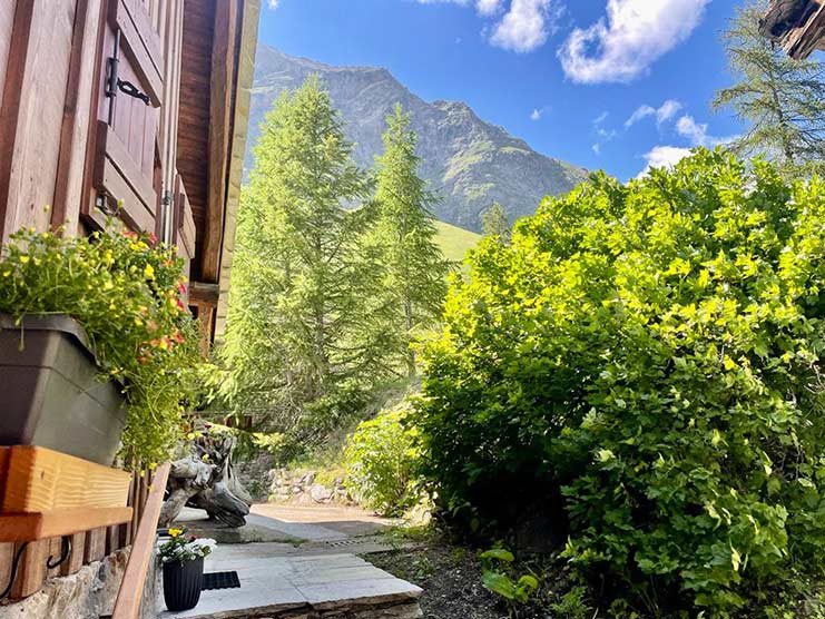
Valle di Rhêmes is a true paradise for nature lovers and hiking enthusiasts, offering immersive experiences in the pristine beauty of the Italian Alps.
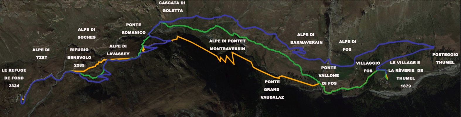
This map shows the routes to reach Le Refuge de Fond 2324.
Purple trail - Road accessible to authorized vehicles and mountain bikes
Green Trail - Summer Path, approximately 1 hour and 30 minutes
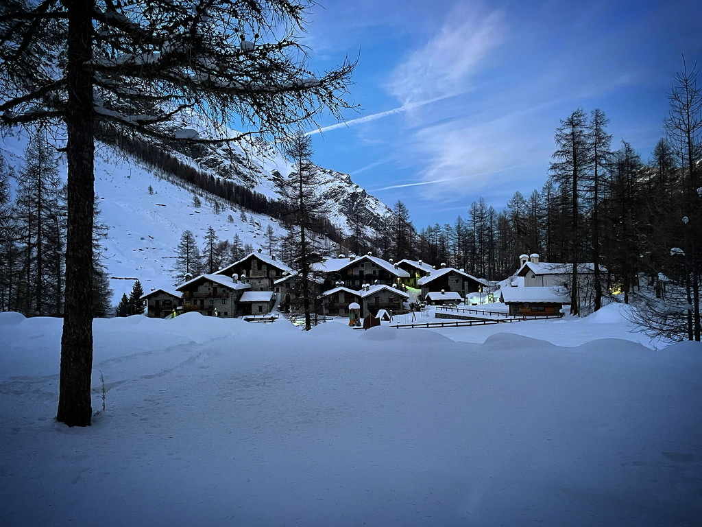
Orange trail - Winter and spring route approximately 1 hour 30 minutes
Departure from Mid Valley
Click on the arrow and discover more
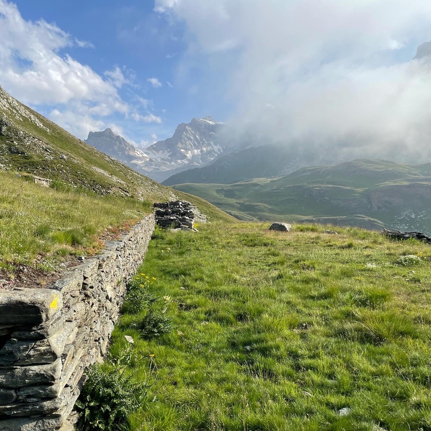
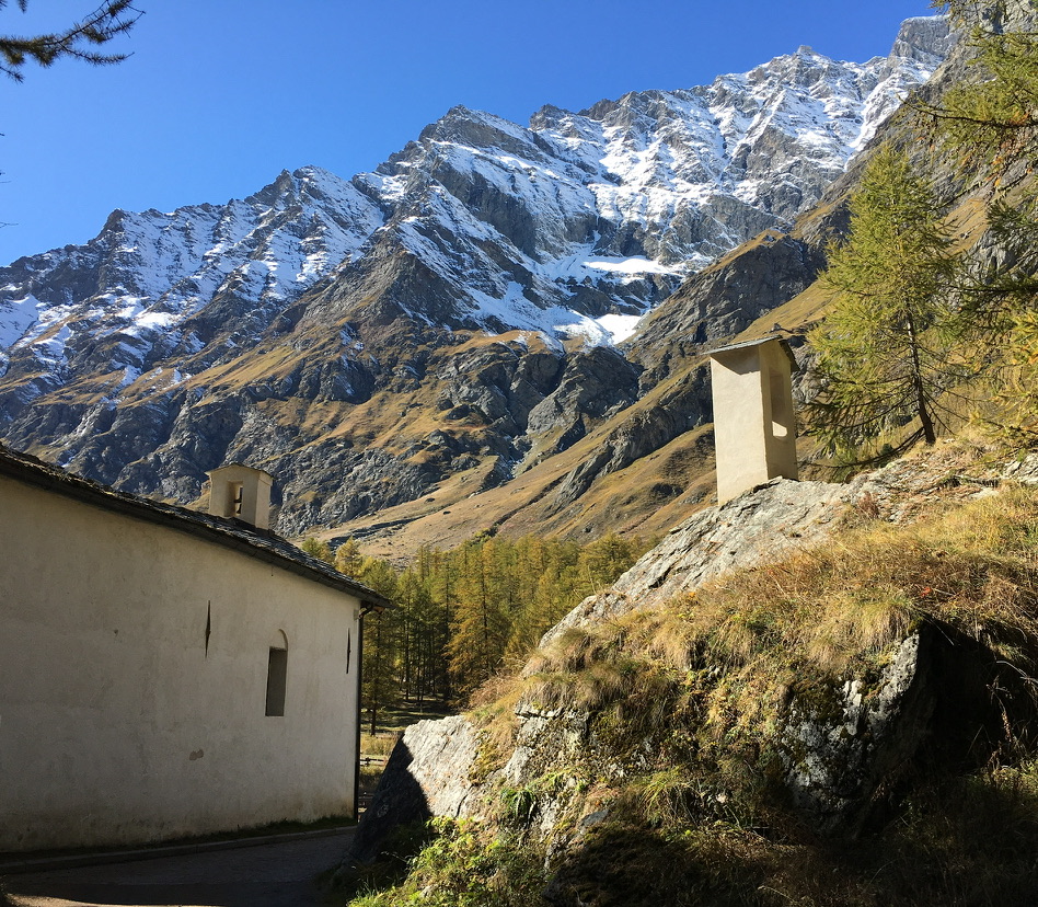
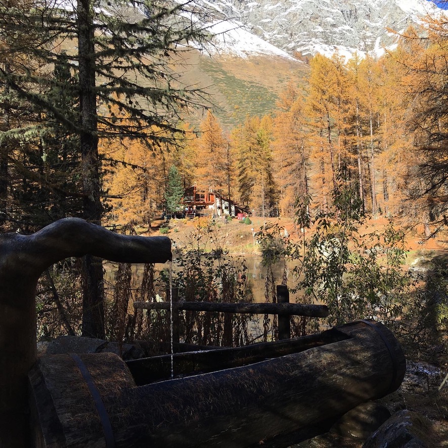
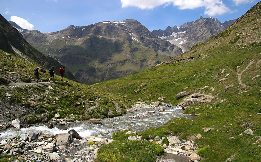
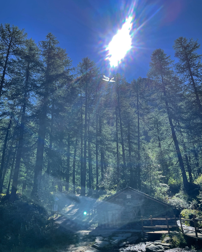
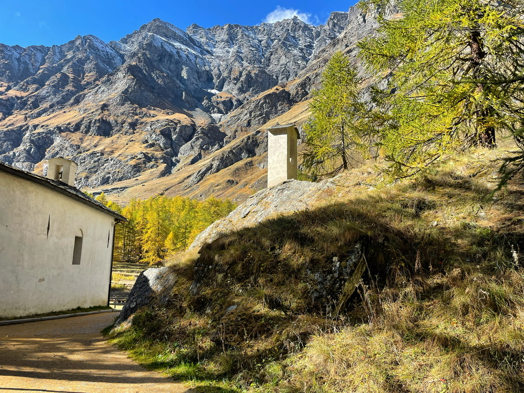
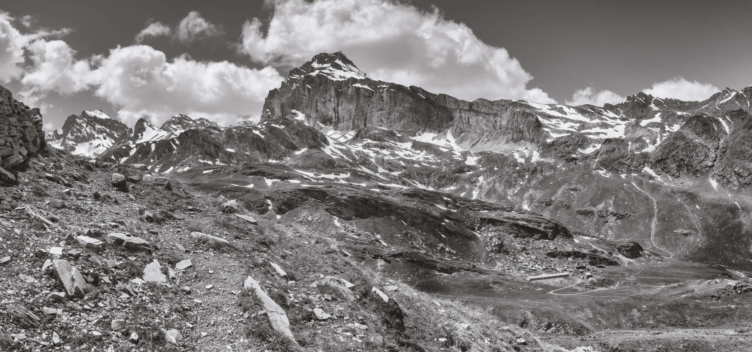
We start from the picturesque location of Thumel (1,879 m), where this extraordinary adventure begins, leading us to “Le Refuge de Fond 2324”. At the end of the asphalt road, we do not continue on the paved road but follow the trail on our left. Soon after, we encounter one of our hydroelectric power stations, then a small shrine with a Madonna statue. We continue on, crossing a small bridge, and our path follows along the course of the Dora di Rhêmes river. We cross a marshy plateau and continue ascending until we reach the dirt road that leads us to an ancient Romanesque bridge. We cross the adjacent modern bridge, changing hydrographic sides, and reach the ruins of the Lavassey alpine pasture. From here, a short stretch of trail leads us near Rifugio Benevolo (2285 m a.s.l.). We continue, admiring the Granta Parey, symbol of the valley, and reach our destination, Le Refuge de Fond (2324 m a.s.l.).
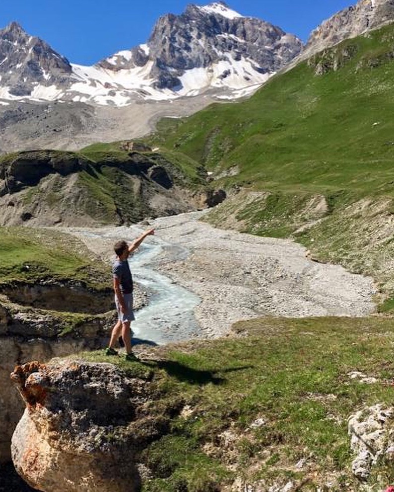
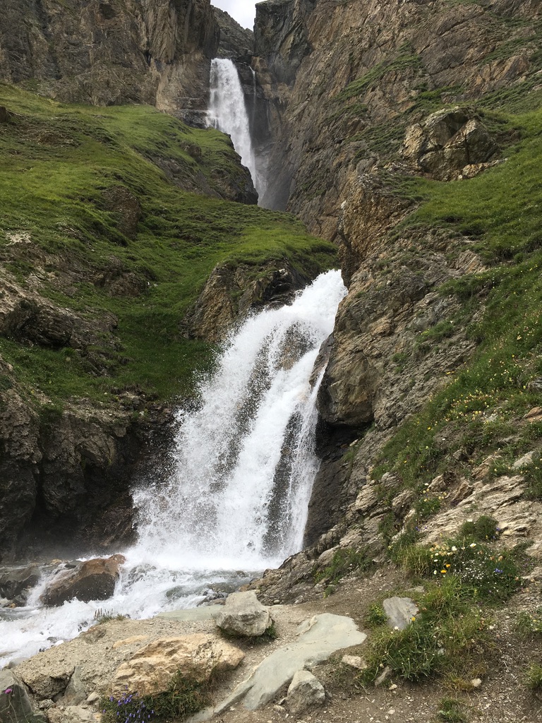
Along the route, we will be captivated by the richness of the surrounding waters and the majesty of the landscape of the upper Valle di Rhêmes Notre Dame.
With an elevation gain of 445 meters and a total travel time of 2 hours, this itinerary is suitable for hikers at a T/E (Tourist/Experience) level. The recommended period is from mid-June to October, when nature displays its fullest splendor. Along the route, we will be mesmerized by the richness of the surrounding waters and the majestic panorama of the upper Valle di Rhêmes Notre Dame.
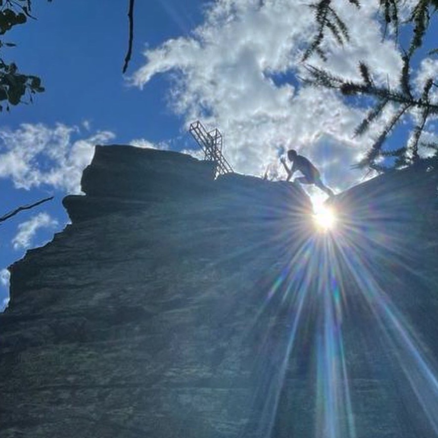
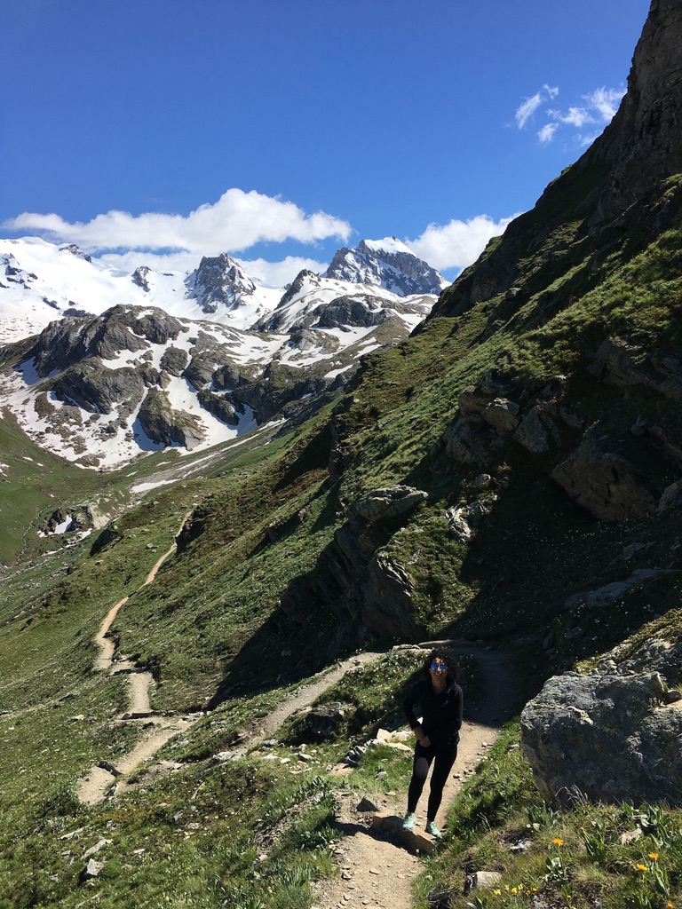
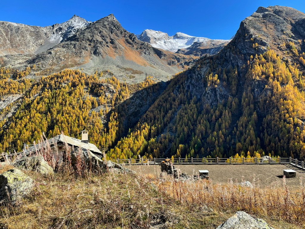
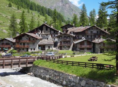
Our journey begins in the picturesque village of Chaudanne (1,794 m), where we embark on an adventure towards Colle di Entrelor that will last about 3 hours. We choose the road that leads to the highest hamlet, Broillat, and then left towards Vallone di Sort, where we encounter a majestic metal cross on a rock called Chateaux Couhlet, visible even from the main town. Walking through a charming larch forest, we finally arrive at the Sort cabin (2,295 m). Here, the surrounding environment is ideal for wildlife observation. We continue our journey along a gently descending trail, reaching Alpe Chaussettaz, always ready to observe wildlife along the way. The excursion concludes with a return to Chaudanne, or if preferred, we can use an interesting nature trail that leads downhill to the picturesque hamlet of Chanavey.
You can find an explanatory video starting from Melignon at the link below.
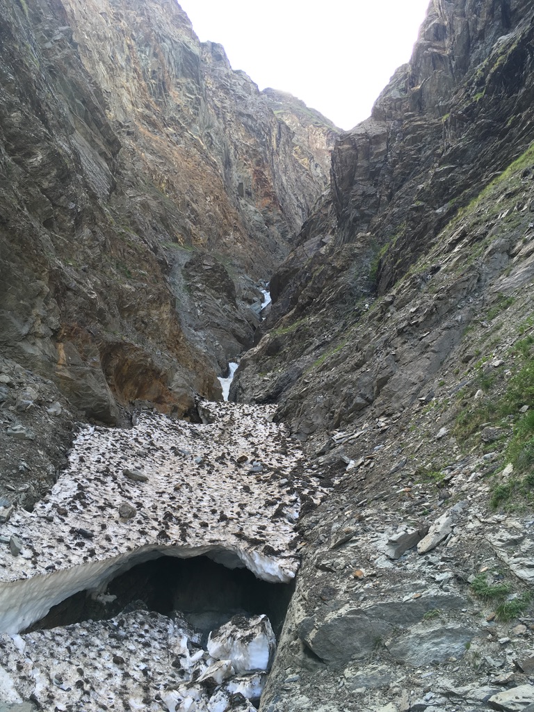
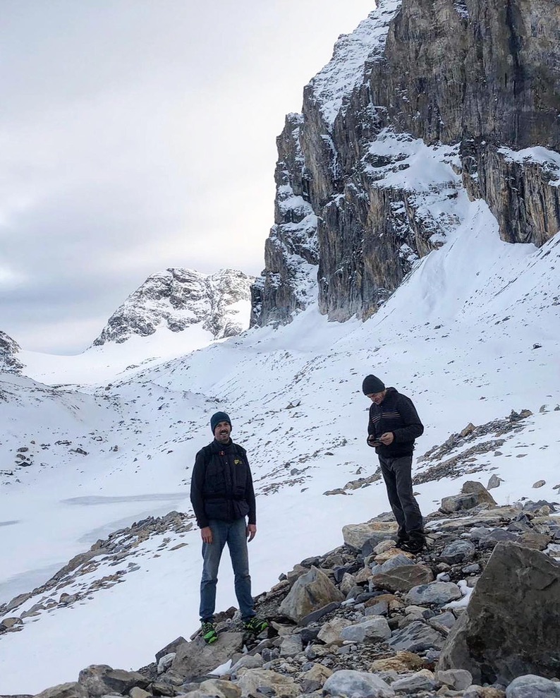
From Thumel (1,879 m), we enter the forest following trail number 11. After crossing a small grove and fording a stream, we begin a long and scenic ascent through the larches. Along the way, we come across the Vaudaletta huts, which have been restored by the Park Authority. This area is also a paradise for nature lovers, with the possibility of spotting ibexes, marmots, and ptarmigans. Continuing our journey towards the pass, we are rewarded with a spectacular view of Val di Rhêmes and Gran Paradiso. Just below the pass, we find a small glacier that requires caution. In case of visible ice, it’s better to proceed carefully along the left lateral moraine ridge.
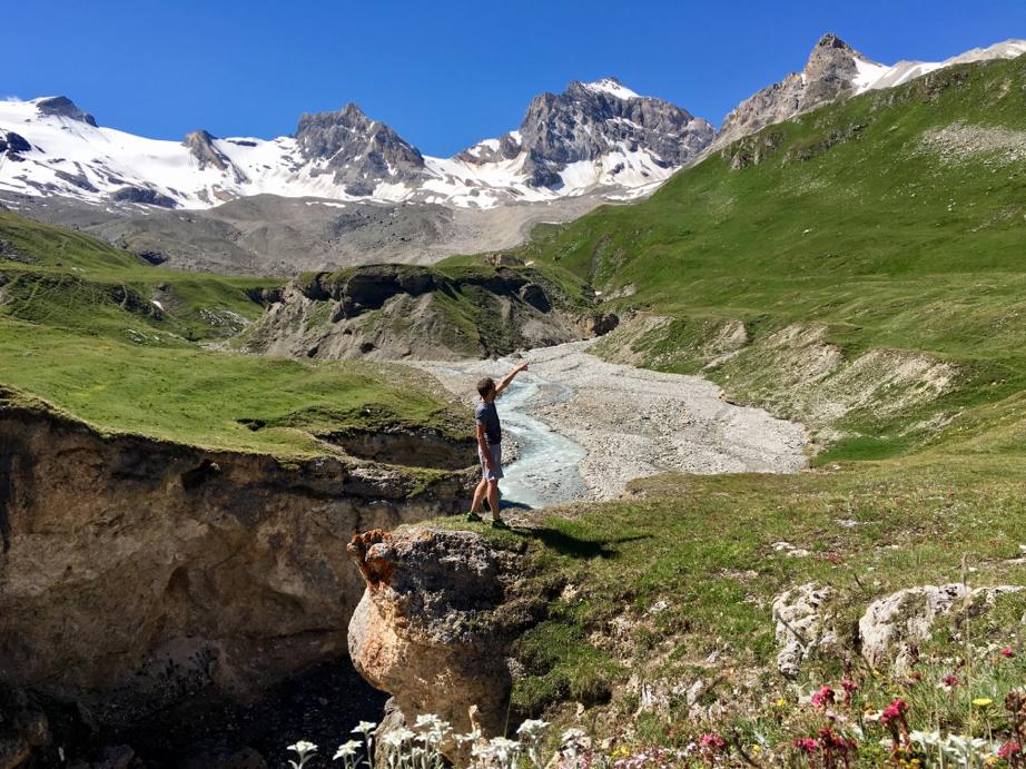
Our hike starts from the hamlet of Pellaud (1,825 m), and after passing the lake of the same name, continues towards the village of Chaudanne. From here, we reach the hamlet of Broillat and, after passing through a stretch of forest, we arrive near the Entrelor alpine pasture. Continuing up the valley, we can reach Alpe Plan de la Feya (2,403 m), where sightings of wildlife are frequent. If we’re adventurous, we can also attempt the ascent to Colle di Entrelor (trail N2 high route), from where we can enjoy a wide view ranging from Mont Blanc to Gran Paradiso. However, this final section requires experience, especially in icy conditions.
You can find an explanatory video starting from Bruil at the link below.
Departure from Upper Valley
The Refuge de Fond at 2324 meters is a key stopover for those trekking the “Haute Route Glaciaire.” Furthermore, it serves as a strategic base for thrilling crossings that reach into France (Val d’Isere), Piedmont (Ceresole Reale), Valsavarenche, and Valgrisenche. If you love challenging yourself and want to discover breathtaking views:
Col Bassac Déré (3,082 m), Col Bassac Nord (3,154 m), Col Basey (3,176 m), Col Rosset (3,023 m), Becca della Traversière (3,337 m) and Punta Basey (3,338 m) offer challenging routes, reachable in 3-4 hours, with elevation gains that can exceed 1000 m
Less challenging but equally thrilling routes include:
Lake Goletta, Lake Tsanteléina, and Tour du Truc de Tsanteléina; hikes of 1 hour and 30 minutes with elevation gains of about 400 meters.
Click on the arrow and discover more
Truc de Tsanteléina: loop from Le Refuge de Fond (2324 m a.s.l.) to Lake Sant'Elena (2696 m a.s.l.).
This itinerary offers the opportunity to fully immerse oneself in the natural and historical beauty of Valle di Rhêmes Notre Dame. Starting from “Le Refuge de Fond 2324,” you will have the opportunity to explore a series of enchanting places that will lead you through breathtaking landscapes and the discovery of mysterious historical landmarks.
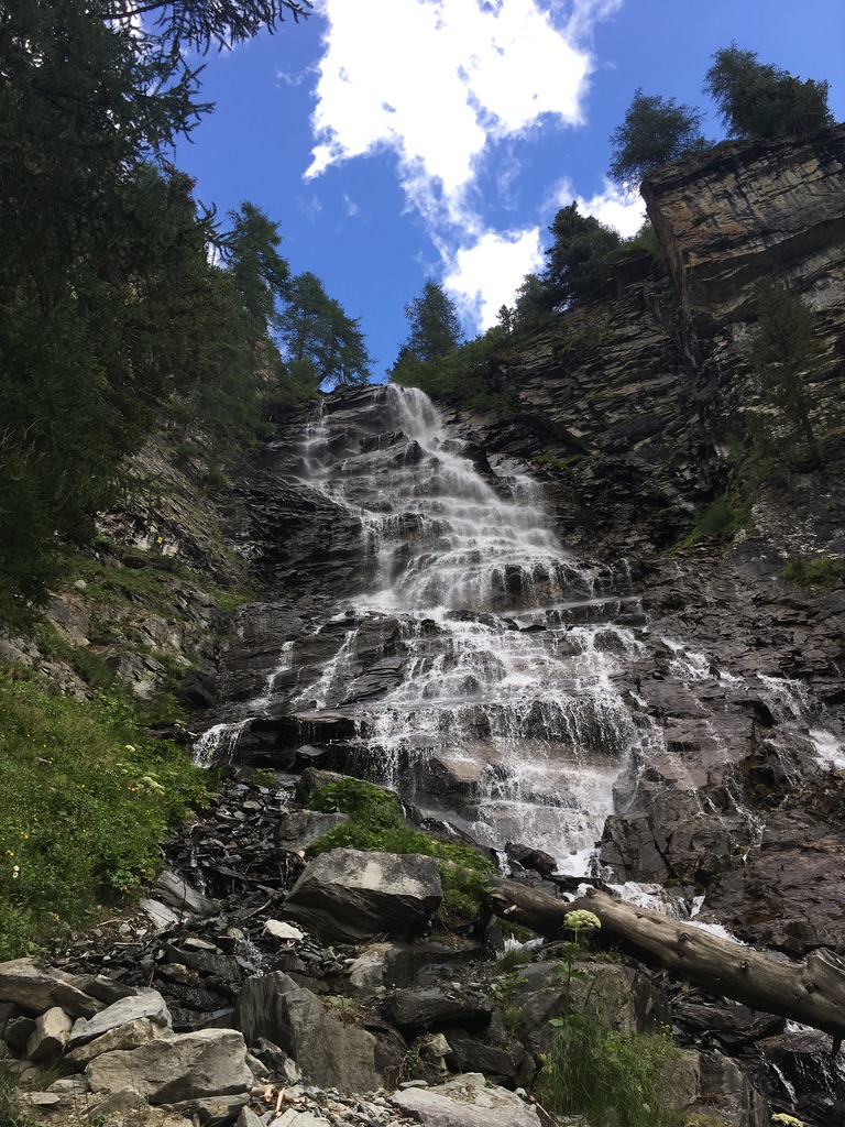
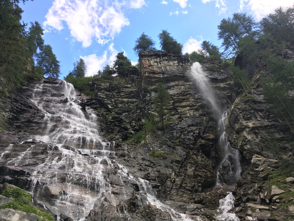
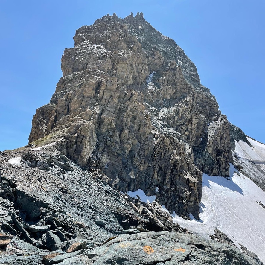
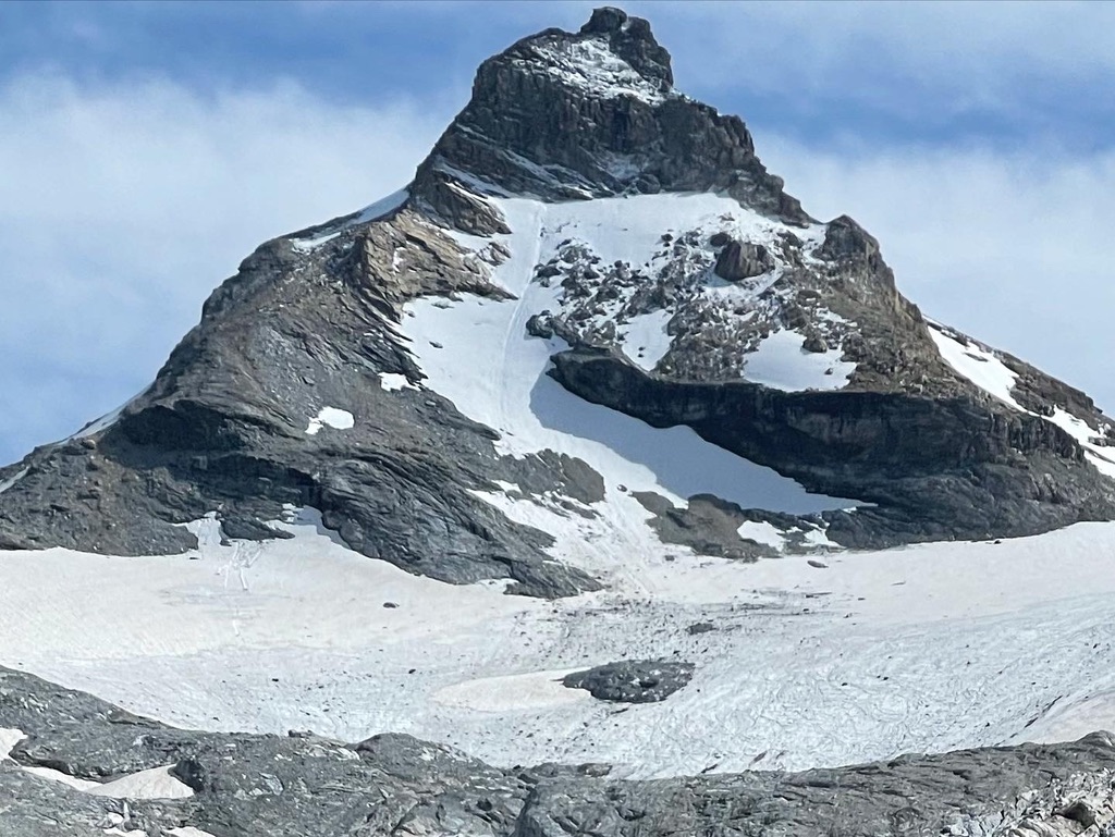
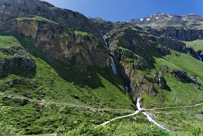
After leaving the refuge, head immediately to the right and follow a scenic trail that will take you to the beginning of a canyon carved by the Dora river, known as Plan Des Dames. From here, you will ascend a moraine valley, enjoying the majestic view of Granta Parey (3,387 m a.s.l.) and admiring the splendid Tzanteleina waterfall.
Once you reach a panoramic pass, you will have the opportunity to admire the surrounding peaks. Continuing along the path, you can choose to ascend to the panoramic summit of Truc Tsanteleina, explore the picturesque Lac Tsanteleina, or visit both destinations.
Upon returning, you will begin the descent through landscapes characterized by scree and grass, to reach trail 14d coming from Lake Goletta. From here, continue towards the ruined huts of Alpe di Soches and pass by them. Continue your journey and you will encounter the mysterious ruins of the village of Tzet, where the remains of lime kilns and some structures, including an apse possibly dedicated to worship, still stand. These ancient historical remains offer a fascinating glimpse into the past of Valle di Rhêmes Notre Dame. Between Soches and Tzet, in 2014, Roman artifacts were discovered, attesting to human presence dating back to the imperial era.
At the end of the journey, you will return to “Le Refuge de Fond,” satisfied after crossing a variety of landscapes, from canyons to mountain lakes, and uncovering hidden historical secrets among the rocks. We wish everyone a wonderful journey!
You can find an explanatory video starting from Thumel at the link below.
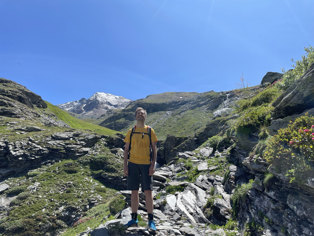
Starting from “Le Refuge de Fond 2324,” we begin by descending to the ruins of the Soches alpine pasture, and from there, we continue following trail marker 13D. After crossing a small wooden bridge, we tackle the ascent of a steep grassy slope.
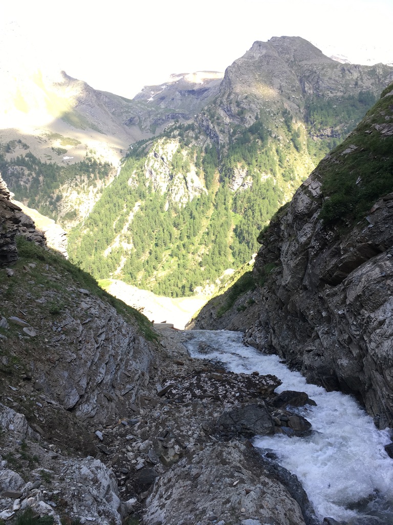
Here, the slope becomes significant, and in a short time, we reach an altitude of 2600 meters. Looking back, the valley appears to literally drop beneath us. The surrounding environment is extraordinary, and the wild nature reveals its purest beauty.
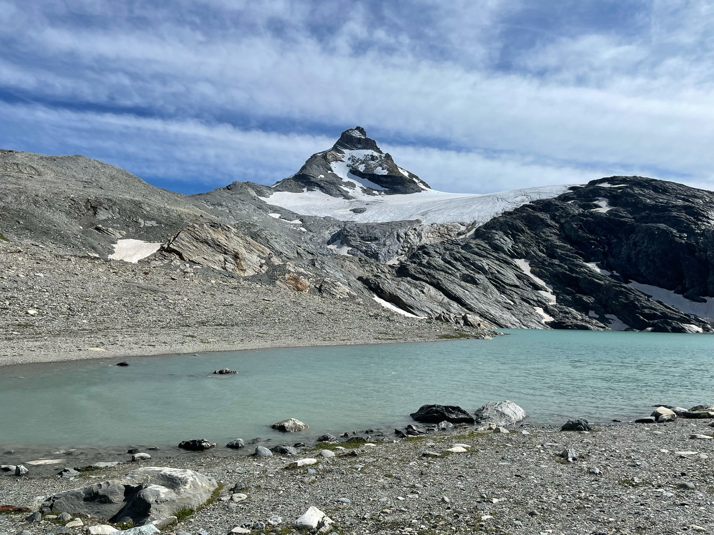
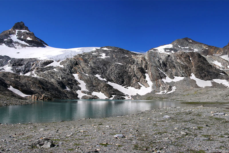
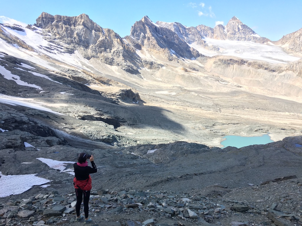
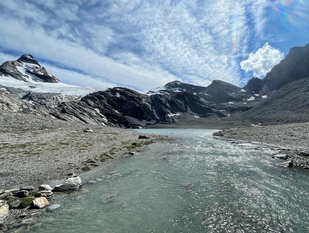
Arriving at a junction, we follow the signs to the lake, which is just a 20-minute walk away. The path continues over a gravel slope with a barely perceptible incline, and suddenly Lake Goletta appears before our eyes. This glacial lake is distinguished by its characteristic turquoise color, while the surrounding environment takes on an almost “lunar” appearance.
If we look up to the right, we’ll notice the peak of Becca della Traversière (3337 meters), an interesting route for experienced hikers, accessible in about 2 hours’ walk from this location.
You can find an explanatory video starting from Thumel at the link below.
This hike offers a rewarding experience through a variety of landscapes, from the pastoral environment of the lower valley to the characteristic scenery of the high mountains. The trail is challenging but not excessively steep, except for a short ascent to the pass and the final stretch towards the summit. However, it should be noted that from the pass onwards, there is some exposure. Half of the route follows a trail, while the remainder crosses well-marked moraine fields and scree.
Start the hike by following the aforementioned directions until you reach Lake Goletta (2700 m), where the majestic Granta Parey is reflected. The hiking time from the refuge varies between 1 hour and 1 hour 30 minutes.
From the lake, skirt the marsh and follow the trail marker 13D along the right slope. Initially, the trail is gentler and becomes steeper towards the summit. The path features rock fields, debris slopes, and some simple snowfields. In just over an hour, you will reach the Col Bassac Dèrè (3082 m), which connects the Val di Rhêmes and the Valgrisenche.
From the pass, you will enjoy an unparalleled view to the west, admiring the Grande Sassiere (3751 m), the Petit Sassiere (3672 m), and the imposing Gliairetta Glacier. In the north/northeast direction, you can not only observe Lake Goletta below but also the outlines of Grivola (3969 m) and Gran Paradiso (4061 m).
In about 45 minutes of walking from the pass, you can also reach the panoramic Becca de la Traversiere (3337 m). This hike offers the opportunity to explore a unique alpine environment and enjoy spectacular views of mountain lakes and the majestic surrounding peaks.
In the link Below, you can find an explanatory video starting from Thumel.
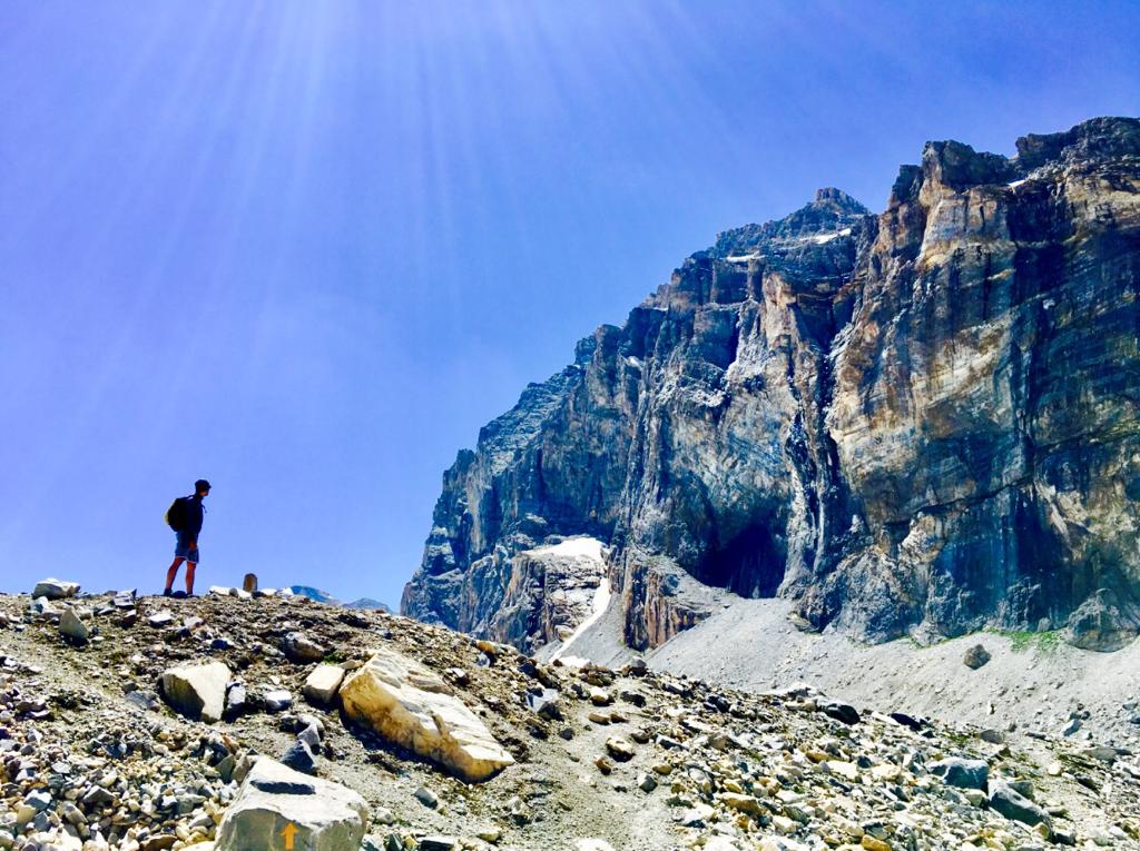
The hike to Punta Basei is a breathtaking experience that takes you through spectacular scenery in the high Valle di Rhêmes Notre Dame. The approach to the Nivoletta pass, preceding it, offers a magnificent view of the limestone wall of Granta Parey and the glaciers at the head of the high Valle di Rhêmes. Once you reach the pass, the panorama opens up to the Nivolet lakes and the Gran Paradiso mountain range.
Start your adventure from “Le refuge de Fond 2324,” descending along the valley until you reach a junction. From there, take trail 13B, which climbs the grassy slope up to the high Basei alpine pasture, located at an altitude of 2309 meters.
Once you have passed the alpine pasture, you will come across the first fork in the path. Continuing along the lower trail, proceed in a south-southeast direction following the course of the Dora di Rhêmes, alongside the limestone “gorge” that borders the river. Looking to the right, you can admire Granta Parey, La Tzanteleina, and Punta Calabre.
The trail gradually ascends along a grassy shoulder, approaching the Lavassey and Fond glaciers. Suddenly, you gain altitude near two small streams. As you ascend the slope, you leave the grassy side behind and head towards a terrain that is primarily morainic.
The path is well-marked, with yellow trail markers and stone cairns, allowing you to steadily gain altitude through easy debris slopes. You will be able to enjoy a magnificent view of the Lavassey Glacier and the head of the high Val di Rhêmes.
Finally, about 3 hours from the refuge, you reach the watershed of Colle di Nivoletta, where, facing the namesake glacier, you can admire the small Lavassey lake (2709 m).
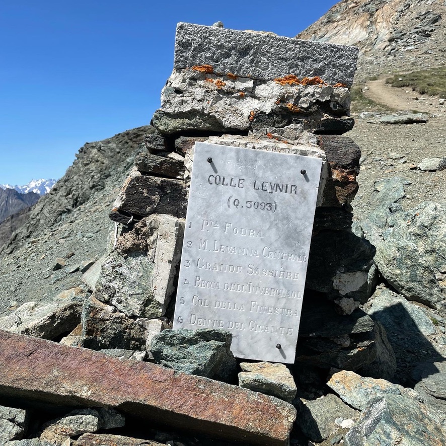
From Colle di Nivoletta, which marks the watershed between the Nivolet valley and Valle di Rhêmes Notre Dame, proceed along the broad ridge heading south towards the summit pyramid of Punta Basei, now clearly visible. Before reaching the summit, you come across Col Basei (3176 m), recognizable by a large stone cairn.
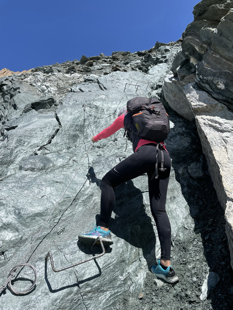
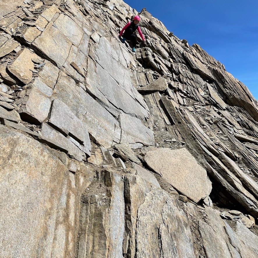
Finally, after overcoming a short rocky section on the Rhemes Valley side with the help of a small via ferrata and passing through the characteristic “window,” you will reach the summit of Punta Basei.
From the summit, you can enjoy a 360-degree panorama that includes Punta Galisia (3,343 m), Punta Calabre (3,445 m), Tsanteleina (3,601 m), Granta Parey (3,387 m), Grande Traversière (3,496 m), and Grivola (3,969 m). The peaks of the Gran Paradiso group form a backdrop to the lakes of Nivolet in Ceresole Reale. On clear days, you can even catch a glimpse of the majestic Mont Blanc (4,805 m) on the horizon.

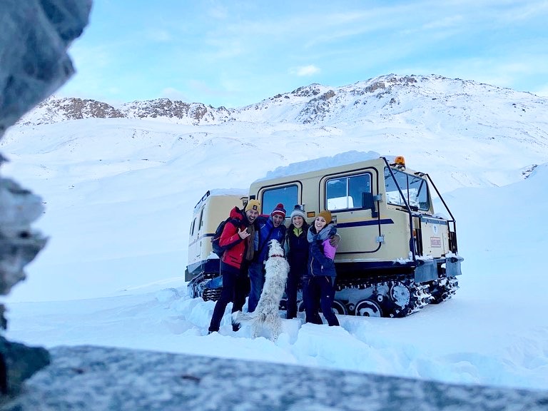
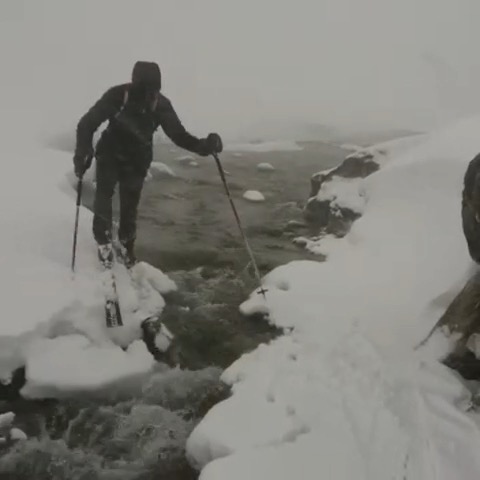
Embark on the wonders of Rhêmes-Notre-Dame Valley. Let yourself be guided by outdoor professionals, experts, and enthusiasts in trekking, mountaineering, ski touring, freeriding, ice climbing, and rock climbing.
We have selected agencies that promise unforgettable experiences for you.
Each excursion is a unique journey where the beauty of nature blends with the safety and expertise of experienced guides.
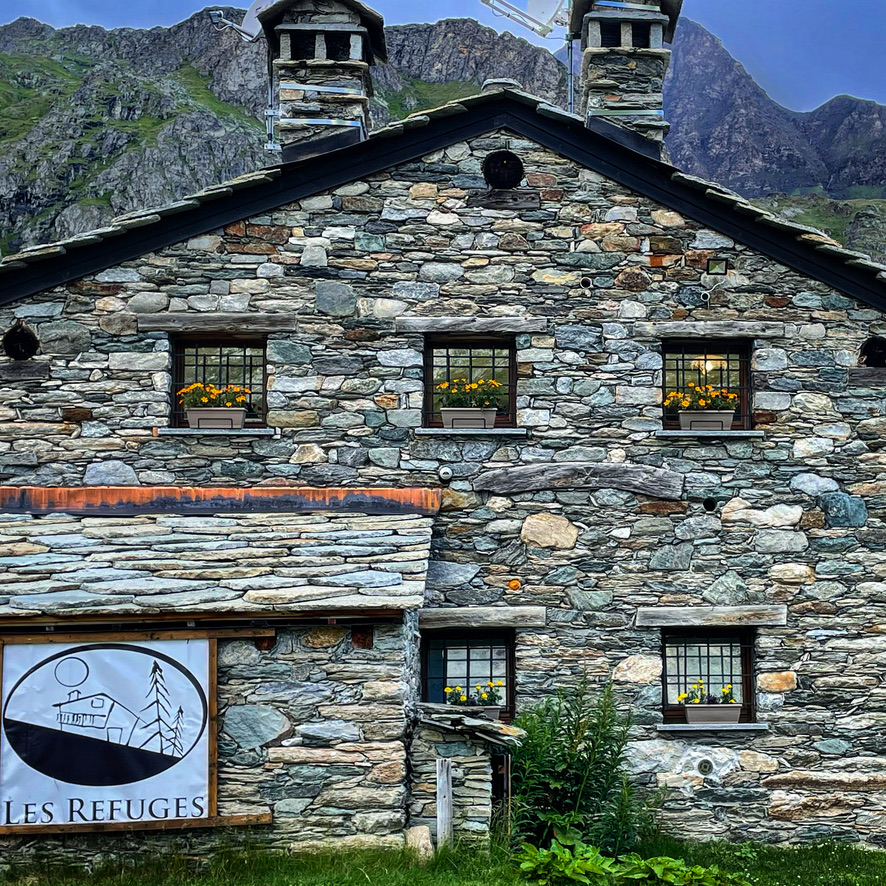
'Les Refuges' are your key to discovering the magic of the outdoors in an experience of pure wonder.

ALPINE WORLD
BOOK YOUR ADVENTURE

PEAKS HUNTER
BOOK YOUR ADVENTURE
Copyright 2023 LesReguges.it